


As the floodwaters subside, life in Kruger National Park is slowly returning to normal. We bring you a summary of the latest updates from SANParks.
Weather impact & overall context
From 9 to 19 January 2026, parts of the Kruger National Park received their annual rainfall in a massive deluge. As the waters rose, they caused massive damage to infrastructure.
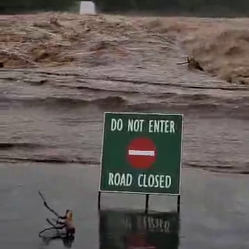
Accordingly, the park closed to day visitors at one point. The scale of the disaster was so great that media outlets widely reported it abroad.
Later, as the torrent gained volume, it damaged roads, bridges, and buildings or washed them away entirely. Consequently, the impact on tourism operations was extreme and required a carefully managed response.
Miraculously, efficient warning systems and pre-emptive evacuations prevented any loss of life.
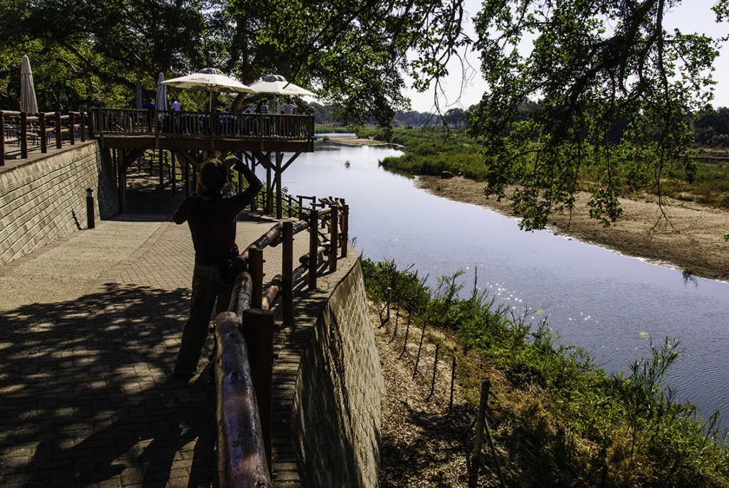
As South Africa’s pre-eminent wildlife destination, the next phase was to assess the damage and begin a gradual return to normalcy.
Subsequently, this next phase is crucial, as without much-needed tourism revenue, the already massive task will be made even bigger.
As a result, we at Latest Sightings have made every effort to keep our readers informed of developments. In this article, we present a summary of the latest developments, as informed by SANParks and the South African government.
Gate & entrances access
While some entrance gates have reopened, others have certain conditions and restrictions depending on their location.
Open for general access

Open with limited access
Border Posts
Because of this, visitors are advised that some access routes may be closed at short notice while local repairs are ongoing.
Main Rest Camps
As of 31 January, the SANParks update regarding operational vs non-operational camps was as follows
Open (operational)
Closed
Bush camps closed
Private camps closed
Satellite/Smaller Camps
Road network and internal travel
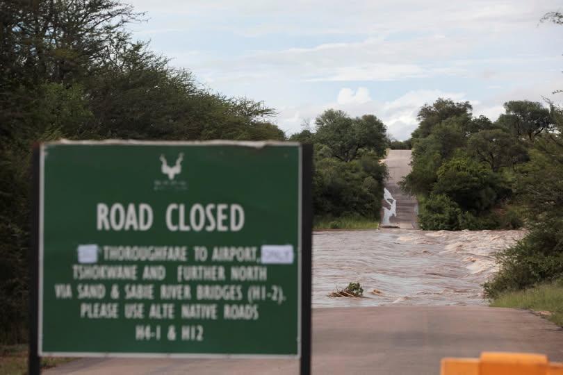
On 2 February, SANParks announced the following with respect to road infrastructure:
As a result of completed safety inspections, all major tarred routes and key bridges (e.g., Sabie and Sand River bridges) are accessible, although it is best to inquire during your visit.
Consequently, visitors can now travel from Skukuza to Satara and Lower Sabie using the following routing: H1-2 > H12 > H4-1.
Alternatively, they may also travel form Skukuza to Lower Sabie via Tshokwane Picnic site on H10. However, visitors are advised this route may involve detours due to some route restrictions.
Meanwhile, some gravel and secondary internal roads are still closed for inspection and repair. Where necessary, barricades remain in place for visitor safety.
Picnic sites
Open
Closed
Practical guidance
Additionally, visitors and guests are asked to bring their own supply of fuel and wood. Guests are asked to follow all SANParks signage and advice as road conditions and access change at short notice.
Moving forward, for the latest updates and real-time information, the public is asked to monitor official SANParks communication channels and social media. Additionally, information is available at entry gates and on rest camp notice boards. Bear in mind, there are also various tour operators providing additional information.